The Canals of Birmingham and Manchester, UK
I’ve had quite a few layovers in Birmingham and Manchester, UK in the last few months. Whenever the weather permits, I head out and take pictures of the canals. Here are a few of the pictures.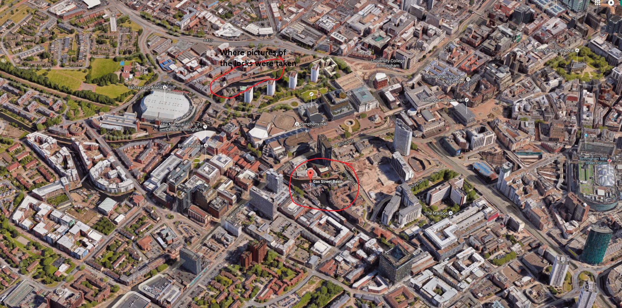
My layover hotel in Birmingham is next door to the Gas Street Basin, so that’s where the pictures start. While looking at this map, locate the Gas Street Basin and look left on the map to the intersection of the two canals; now look right and that is where the pictures of the locks were taken.
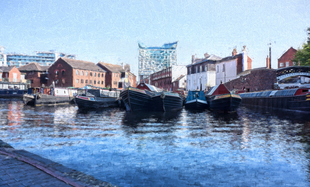
Gas Street Basin
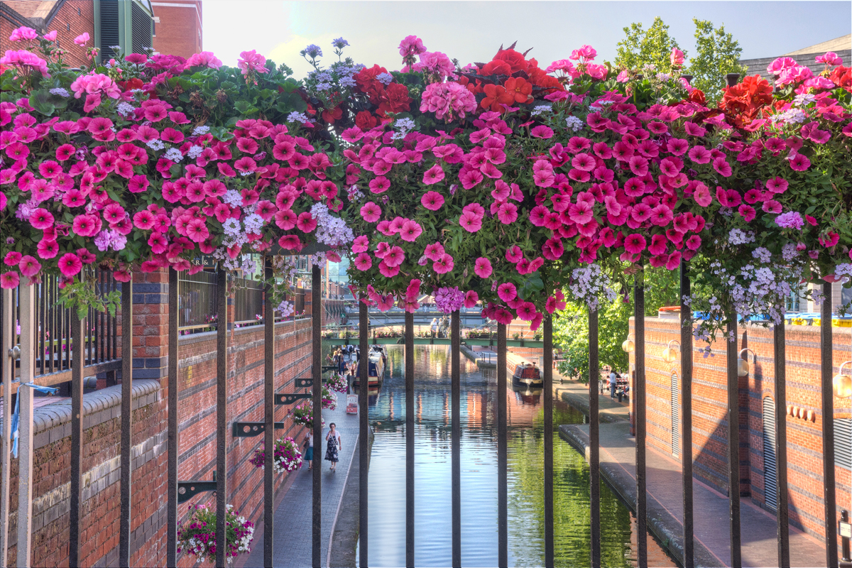
Looking down the Birmingham Canal. The Gas Street Basin is directly behind me.
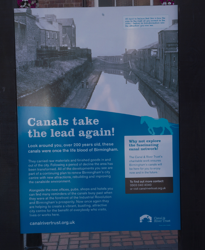
This is how the canal in the previous picture looked in the 1970s.
From here I walked down to the sidewalk along the canal and followed it past the Aquarium (The National SEA LiFE on the map) and turned right at the canal intersection.
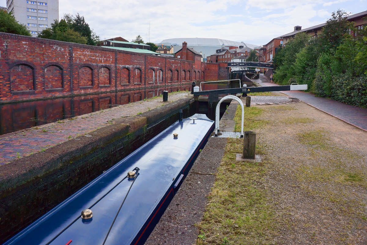
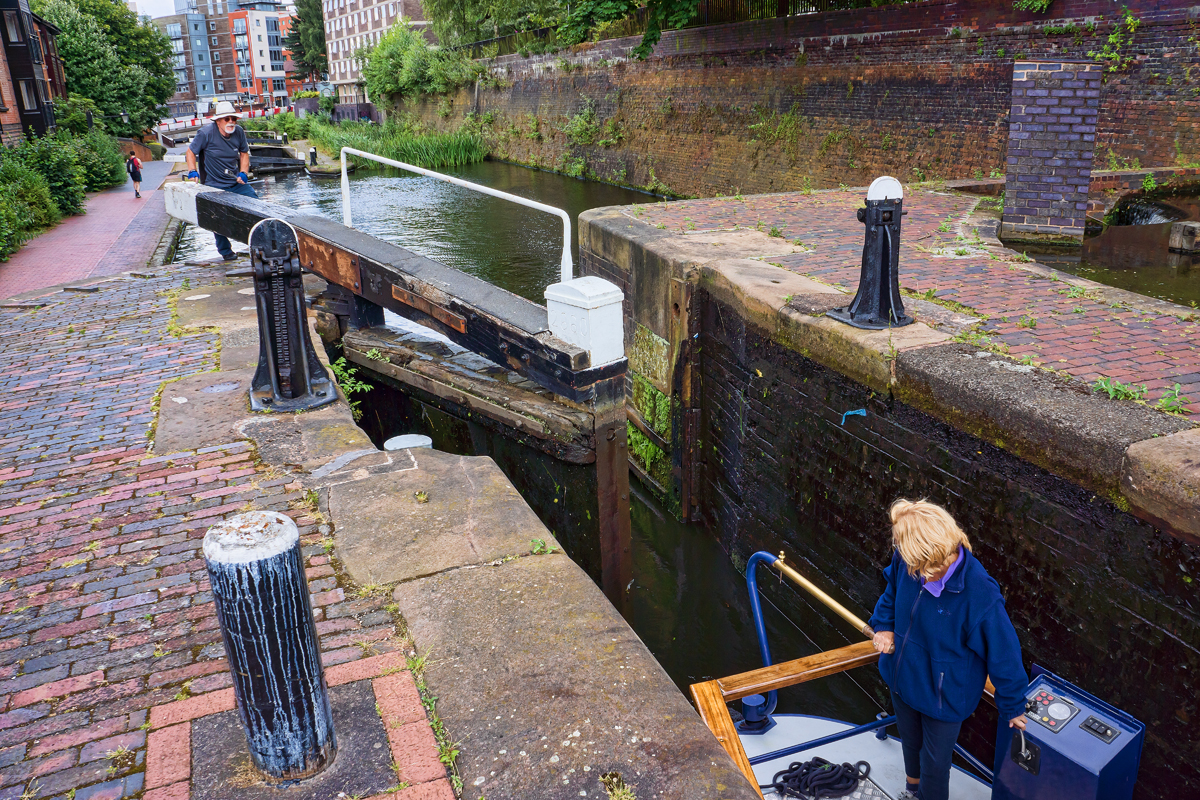
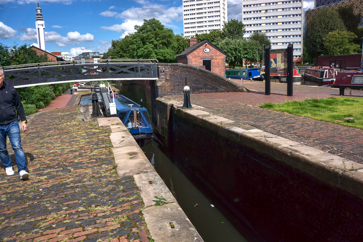
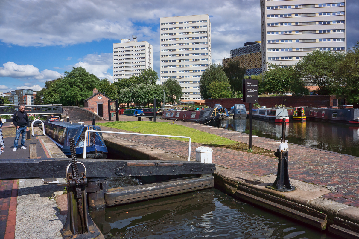
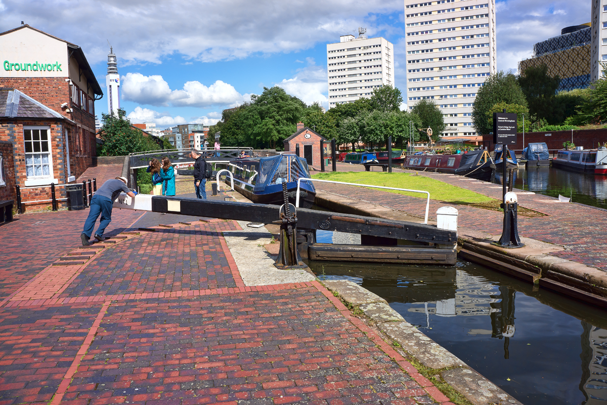
These next series of photographs show a boat owner and his wife negotiating the locks along the canal. While his wife navigated their “narrowboat”, he walked along the canal moving from one lock to the next. He said he had moved through 21 locks that day and they were heading to the adjacent marina to spend the night.
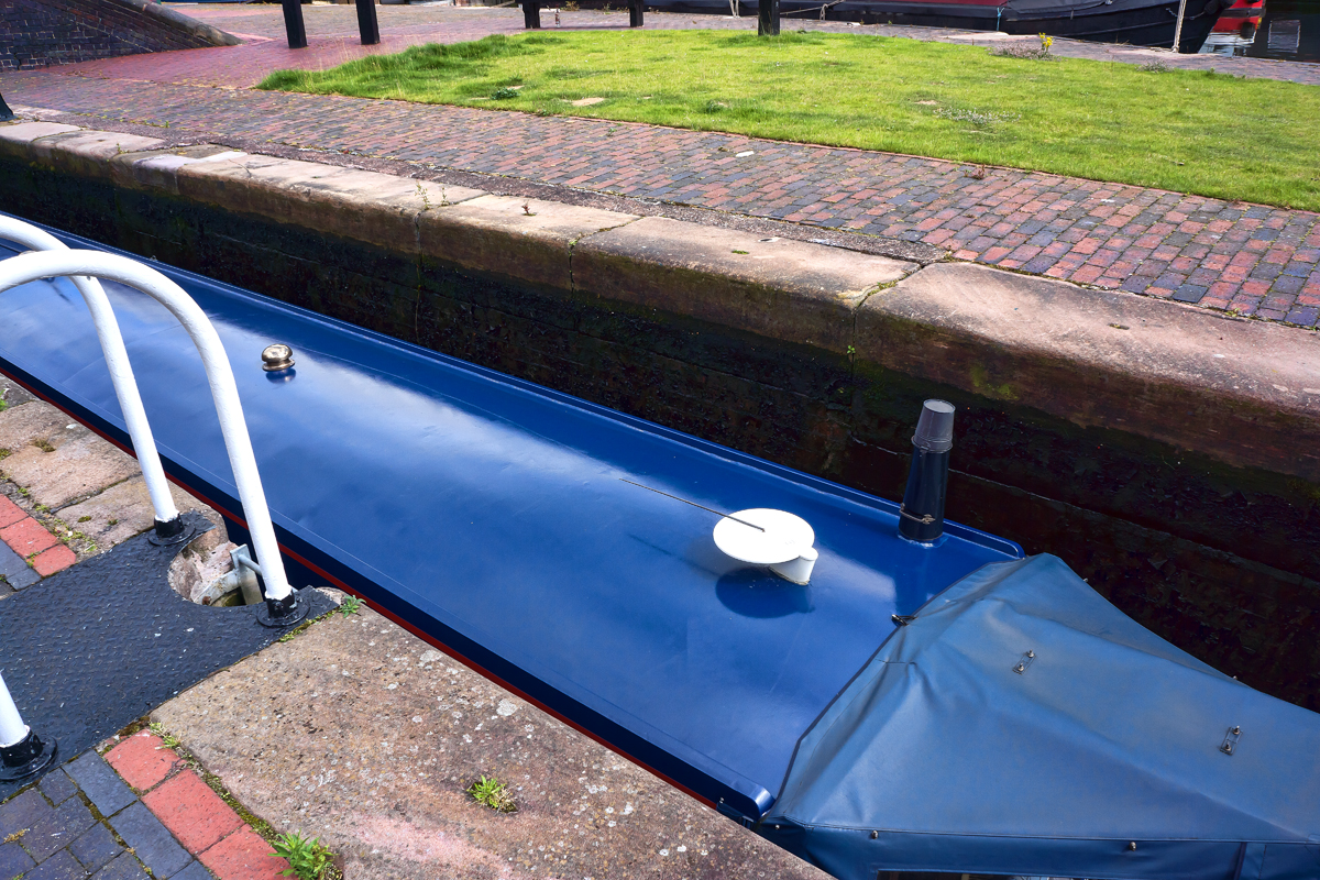
These “narrowboats” have a maximum width of 7 feet in order to navigate the locks and other British canals.
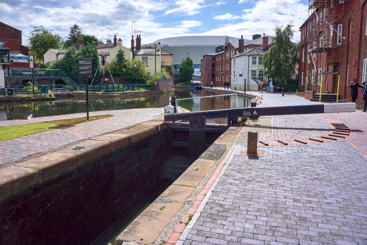
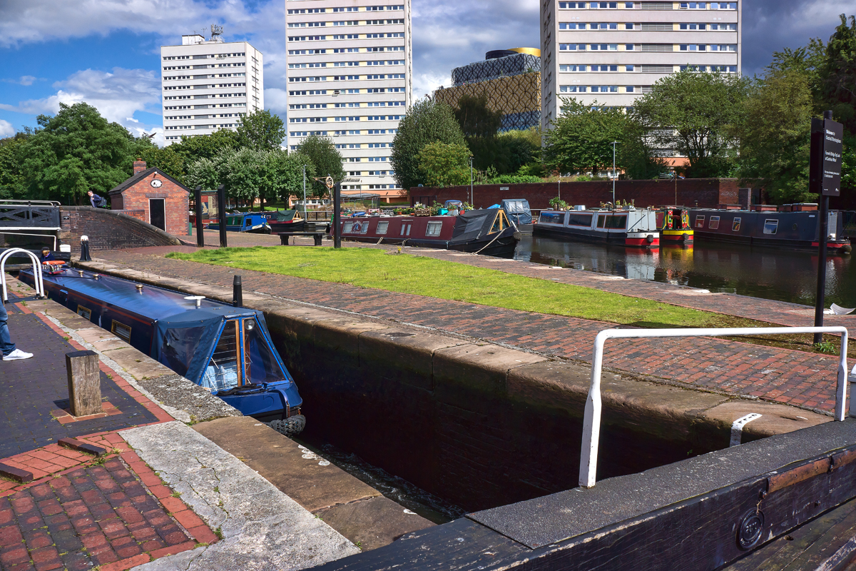
Now that the boat is in the Lock, the husband is closing the back gate and then he will open a valve allowing water to fill the lock, thus raising the boat to the level of the next lock.
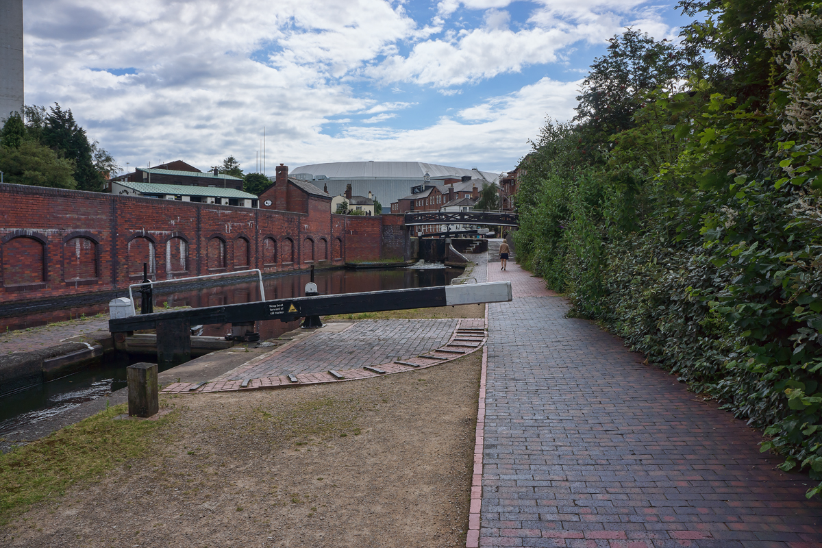
Looking up the canal to the next Lock.
Ready to cruise to the next Lock.
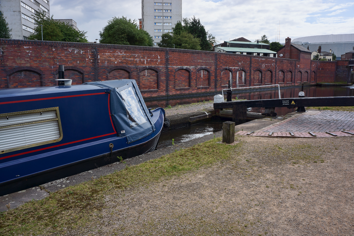
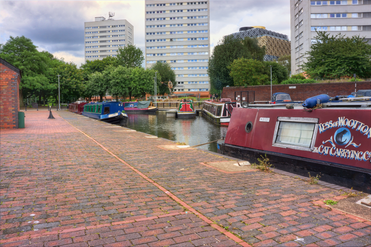
The process continues; the Marina is to the right.
Almost there.
While this couple has been busy negotiating the locks, other boats have been coming into the Marina from the other direction. It doesn’t look like many spaces left.
Opening the gate at the last lock.
Looks like one spot left and they will need to parallel park.
Here is an excellent article describing the modern narrowboats in use on the British canals, https://en.wikipedia.org/wiki/Narrowboat
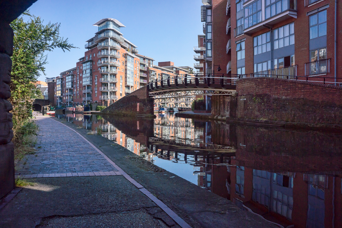
A view along the Birmingham Canal Old Line. This is in the opposite direction from the Locks in the previous pictures.
Continuing along the Birmingham Canal Old Line.
We’re now switching to pictures taken along the Bridgewater Canal in Manchester, UK.
According to this Wikipedia article https://en.wikipedia.org/wiki/History_of_the_British_canal_system the Bridgewater Canal is one of the first canals built in Great Britain and was completed in 1761.
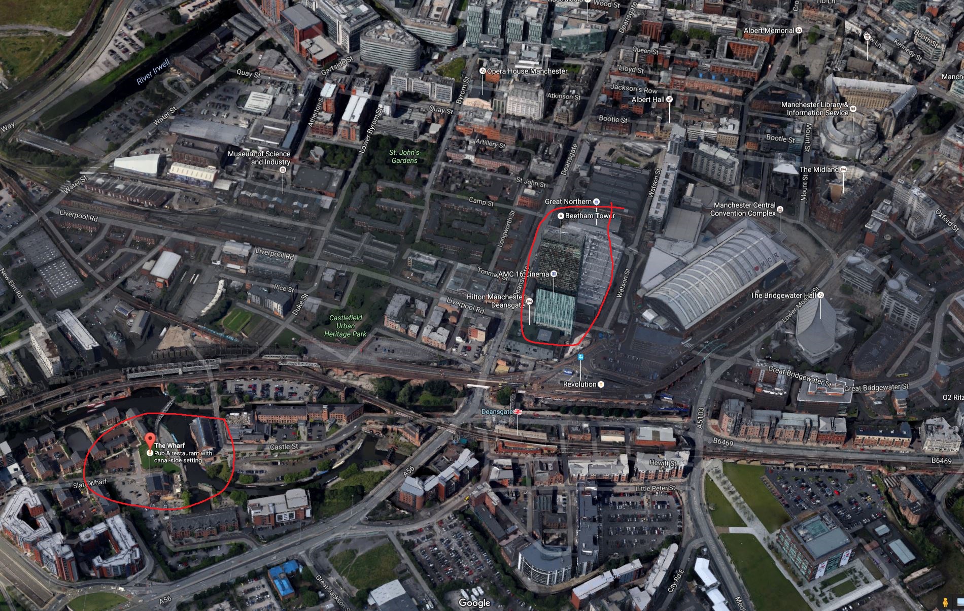
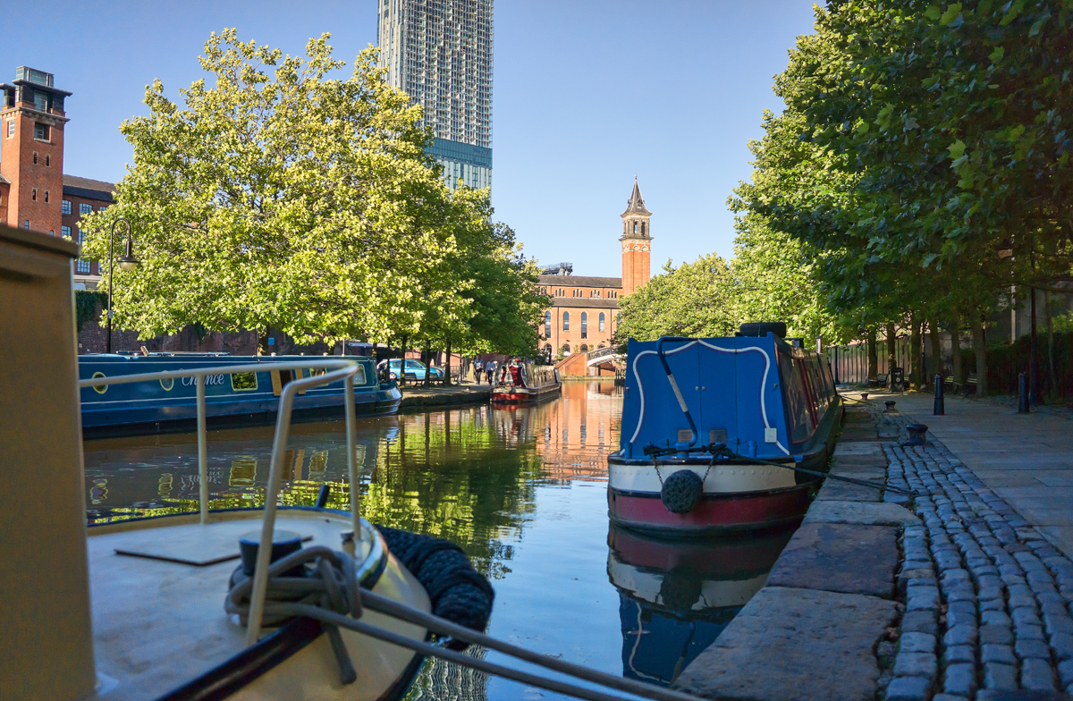
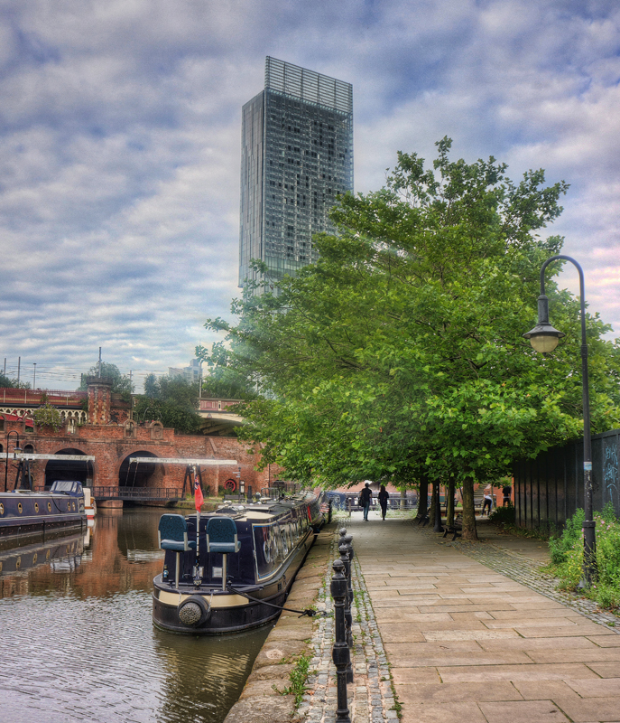
Looking east along the Bridgewater Canal. The Wharf Restaurant is behind me and Beetham Tower is in the background.
Looking east along the Bridgewater Canal. The Wharf Restaurant is behind me and Beetham Tower is in the background.
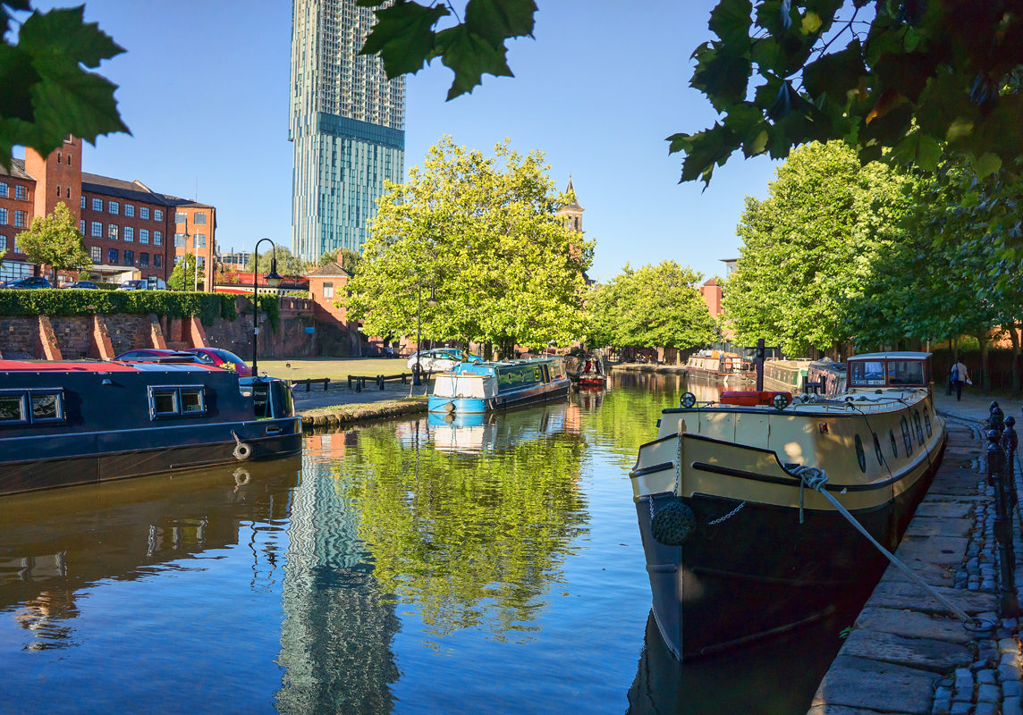
Looking north along the Bridgewater canal. The Wharf Restaurant is to the left but is not visible.
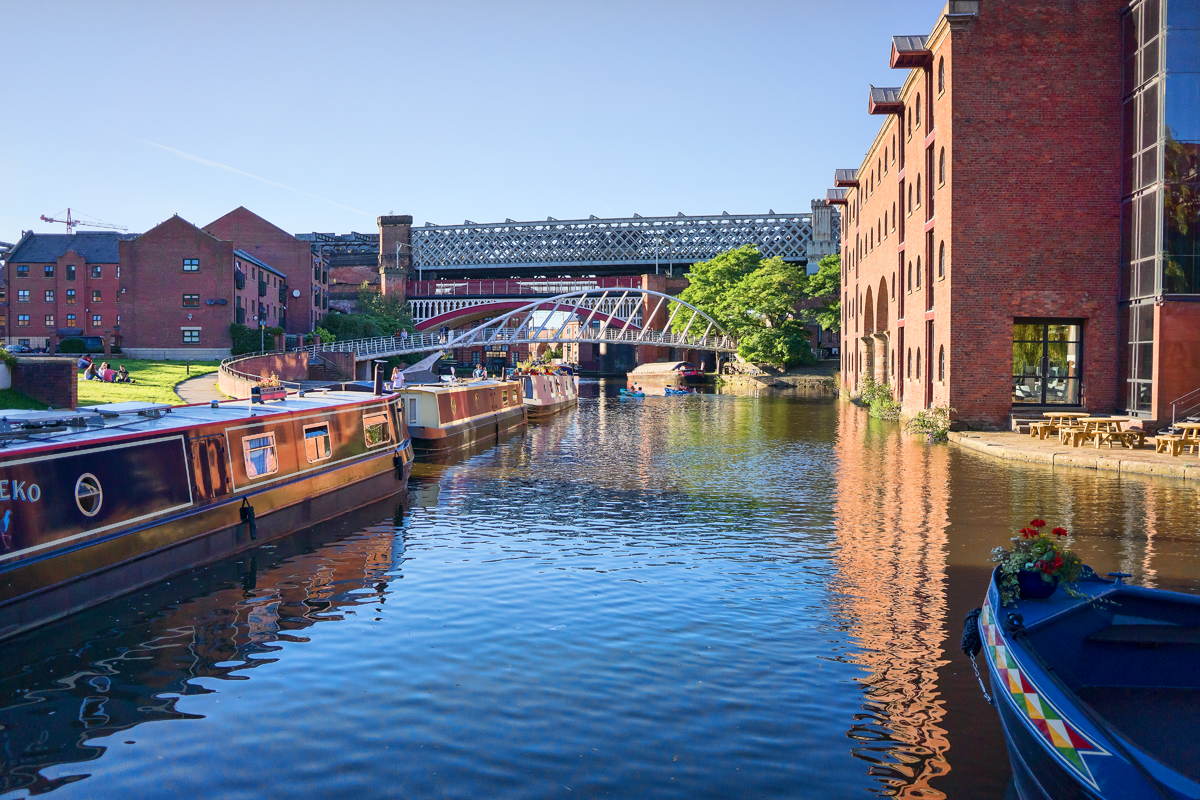
Another view of the Bridgewater Canal looking east.
Here is a Wikipedia article providing more information on the Canals of the United Kingdom

Comments are Disabled